Aug 18th 2022
I'm afraid that we have closed our doors on online learning for now. Thanks to the 700+ students who not only enrolled, but COMPLETED their courses and for all the feedback we have had along the way.
Learn online with Wildlife ACT!


What was learnt
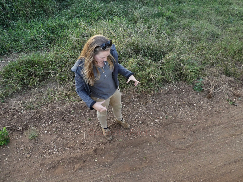
Students learnt how important TRADITIONAL TRACKING is in the monitoring of priority species
One line
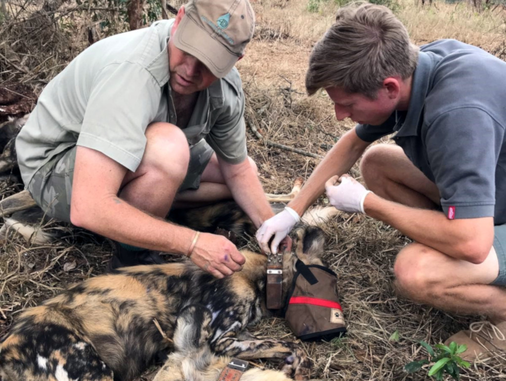
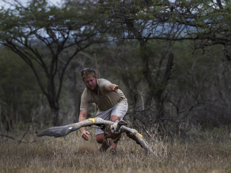
Students built awareness of ethical WILDLIFE CAPTURE AND RELOCATION
One line
Participants learnt how to TRACK BIRDS through pellets, prints, kills, calls and tracks
One line
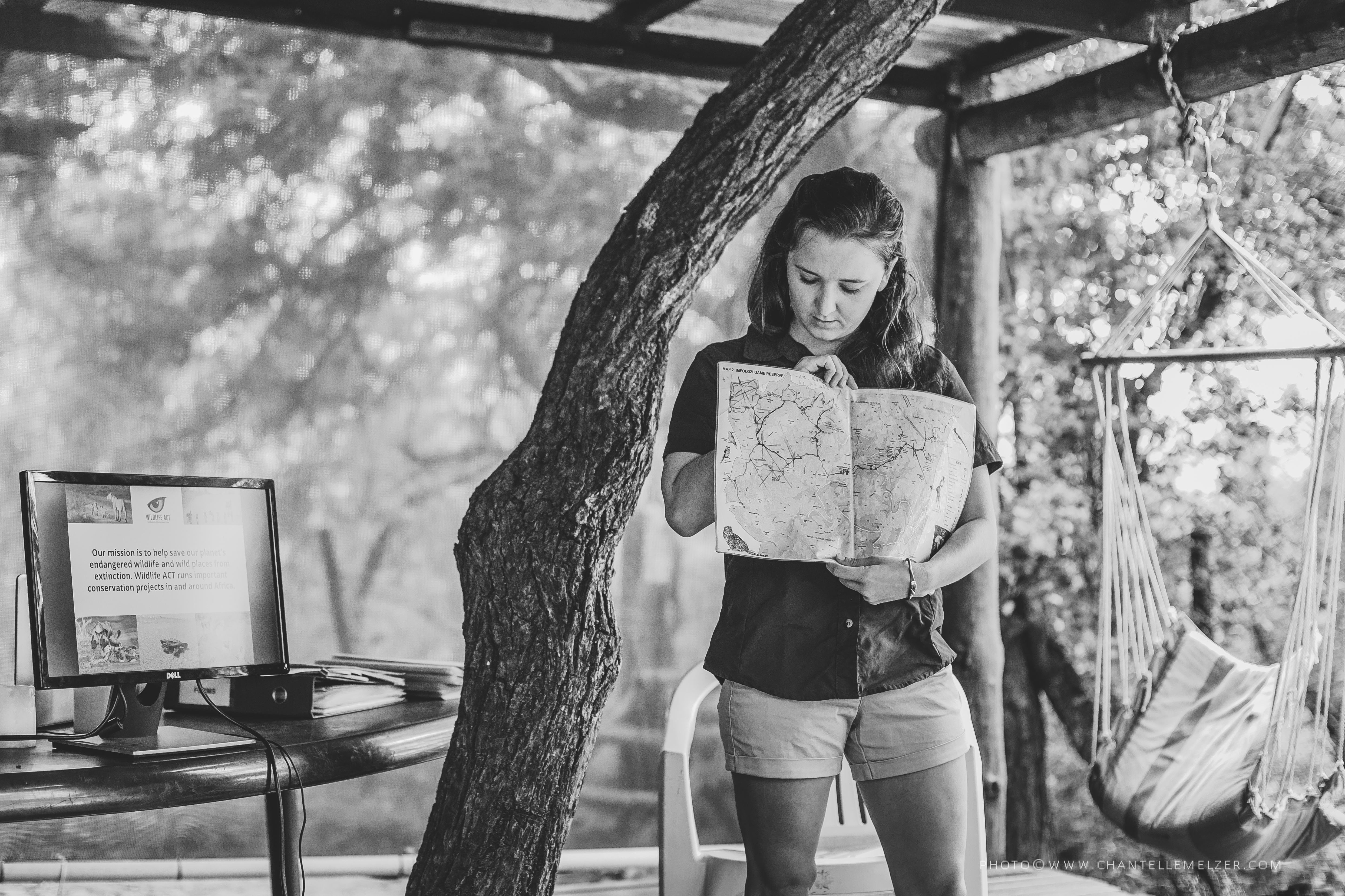
Students learnt how to draw your own map and why MAPPING is such a cruicial tool in the field
One line
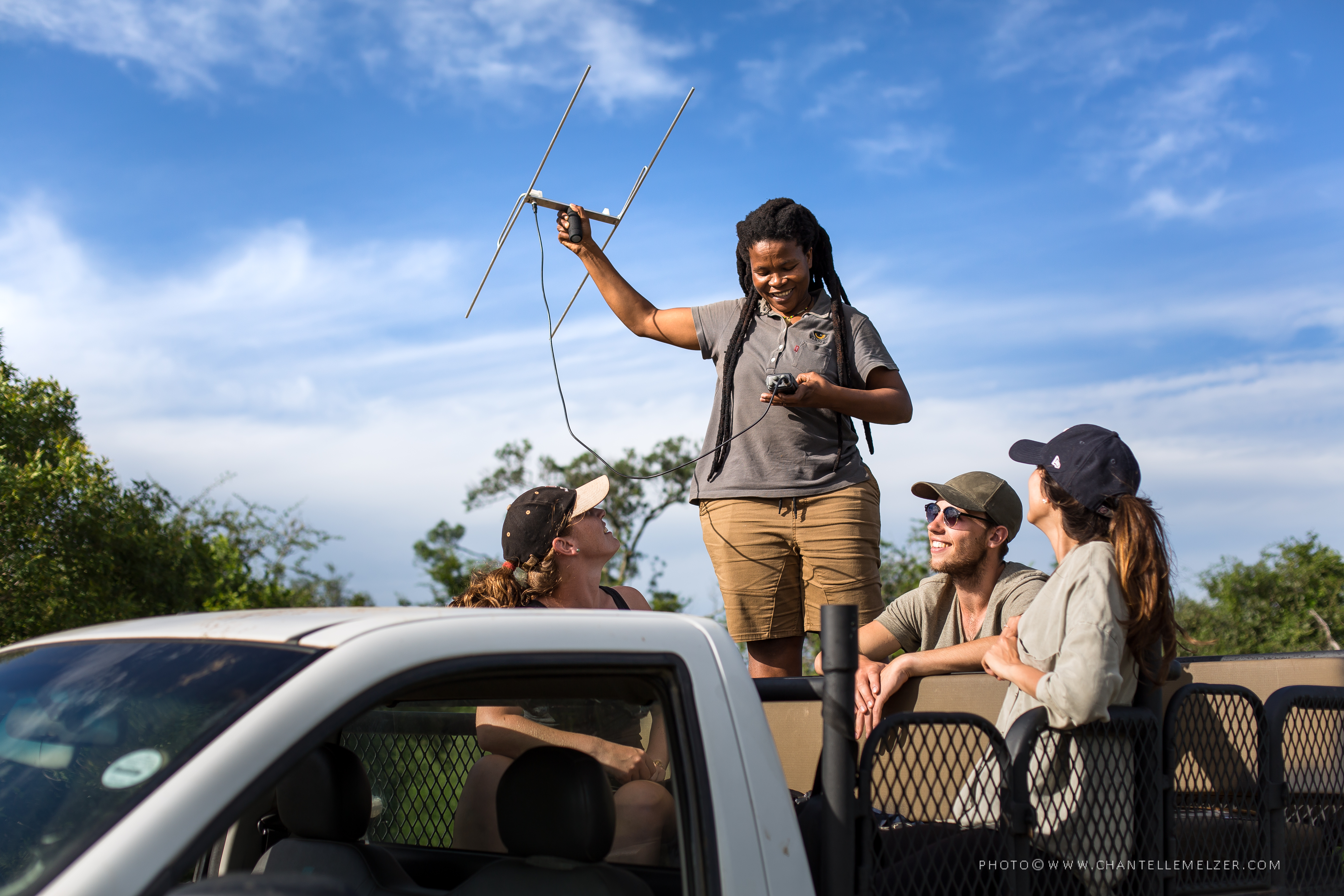
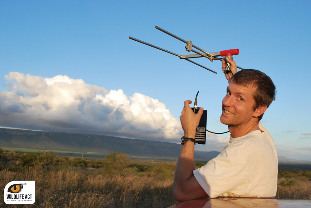
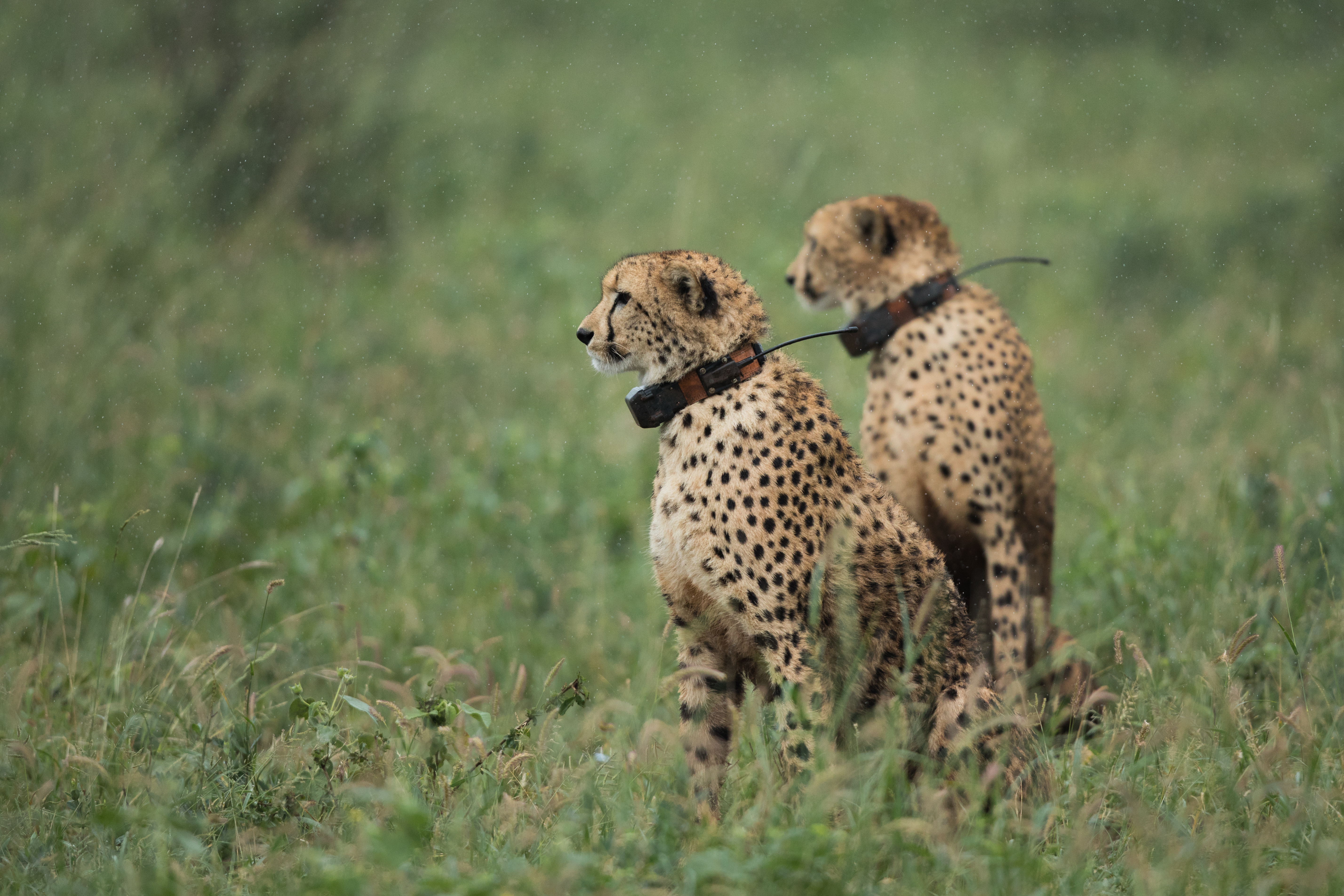
Students learnt how to monitor wildlife using a number of different TRACKING TECHNOLOGIES
One line
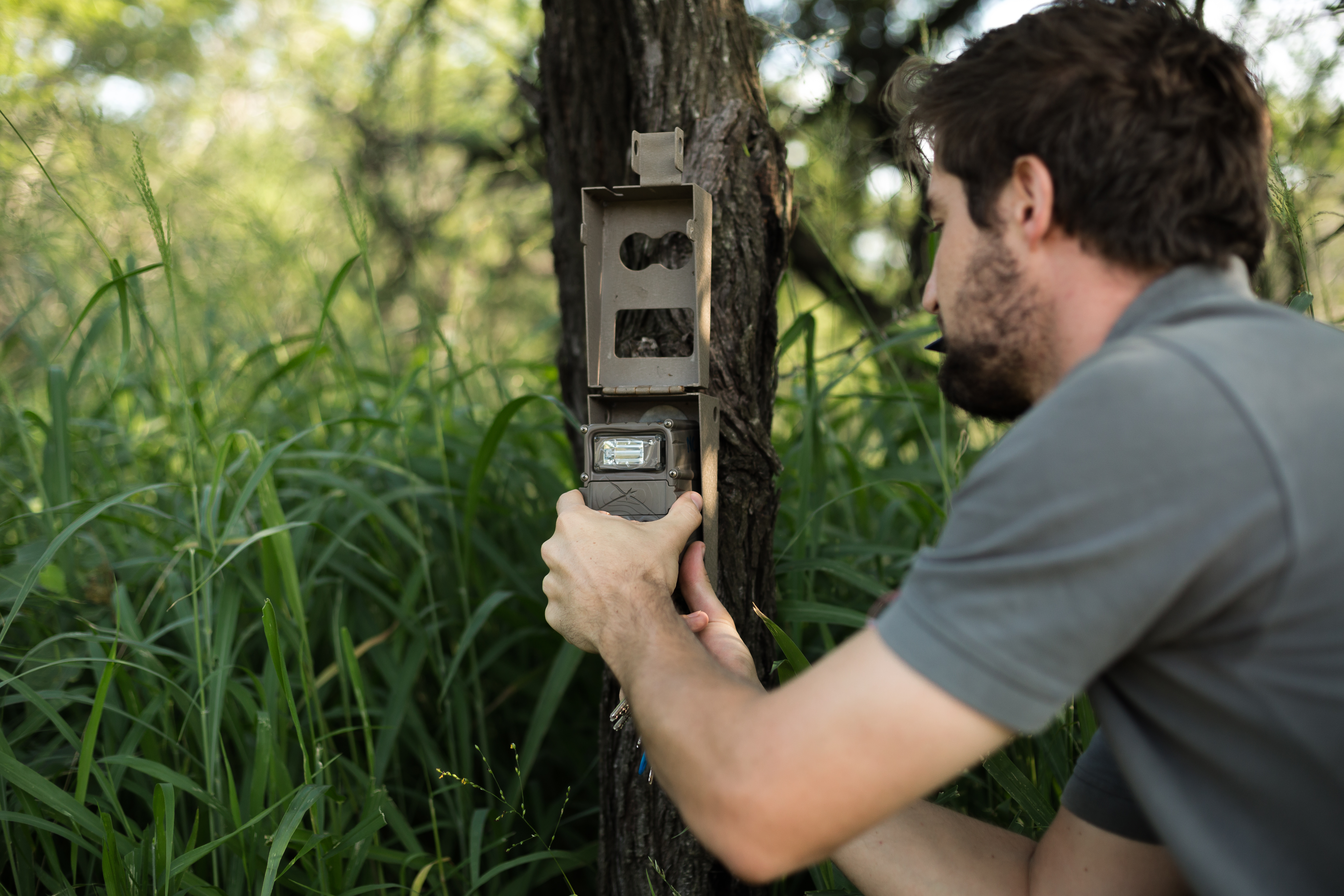
Students learnt where and how CAMERA TRAPPING can be used and why it is an important tool
One line
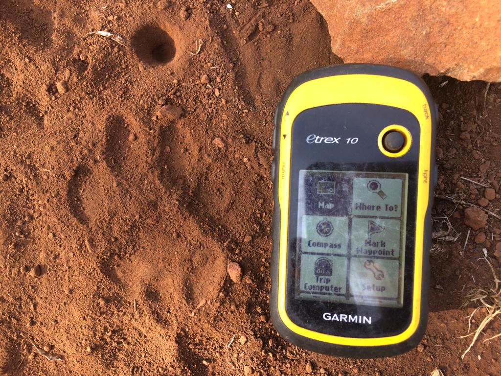
Students learnt how and where to use GPS, GIS & REMOTE SENSING in wildlife monitoring and land health assessments
One line
Students built awareness of the species targeted in the ILLEGAL WILDLIFE TRADE and what work is being done to stop it
One line
Students built knowledge on how to identify TRACKS, SCATS, SIGNS, ETHOLOGY, and behavioural signals from a range of Africam animals
One line
What Did Past Students Say About Our Courses?
Jana from Germany
The tracking for conservationists is a fantastic course with detailed information. May favourite course sections were traditional tracking (supported by my safari experiences), birds ( because i didn’t know much about them previously), wildlife crime and dna analyses. Learning about animal behaviours was sooo interesting and so was learning about all the technologies being used.
Katrina from USA
The mapping course exceeded my expectations and was at a good pace. It was a great way to dip my feet into mapping. I am looking forward to completing my mapping exercise and finding/taking additional mapping courses. I enjoy how the lectures are broken up into videos, etc. It helps to bring it all together.
Charlie from UK
An awesome introduction into tracks and signs. All well set up and organized. Would want to volunteer and experience hands on what i have learnt. I enjoyed the whole course but the first few lectures specifically and wand to delve nto lerning more about the bush.
Alex from UK
I was an EAPS student and found the course really interesting. It WAY exceeded my expectations and covered a broad range of topics. I loved learning about ethology. I find it really interesting to learn about social systems and how animals interact with each other. I also found it very interesting to learn how animals are relocated.
Lee from USA
I loved both the low tech and the extremely high tech sections. It was very interesting, for someone like myself looking to switch to a career in wildlife research, to learn about the cutting edge in the same course that presented some basic boots-on-the-ground tracking information. I also very much enjoyed all the things that happened around the course—the Q&As, the Facebook page, the WhatsApp group students had set up. These things fostered a community of learners and a better understanding.
Maya from Switzerland
Especially during this COVID-sitting at home it gave me inspiration and a little bit of the African feeling. I learned a lot and it was very interesting! I really apreciated the links and youtube additions, the additional papers and the large all african knowledge Hollie can bring in. I like the slow English Hollie speaks and her feelings which come through. I will do as much of the study material again as long as we can get hold on them and I am happy to have the printed papers to refer to in later stages... (Preparation to courses in Africa I dream of participating).